Bilder
Legende

Bildstandort (Richtungspfeil zeigt in die Richtung)
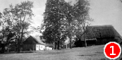
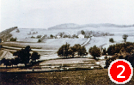
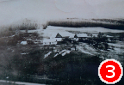
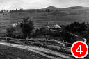
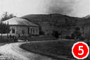
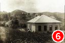
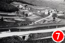
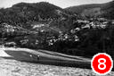
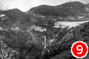
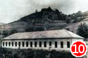
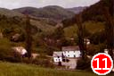
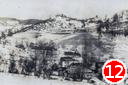
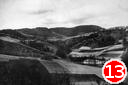
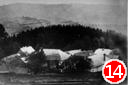
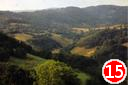

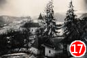
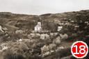
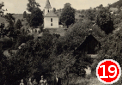
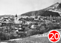
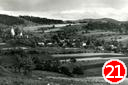
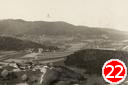
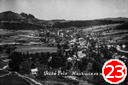
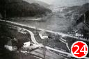
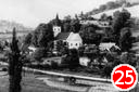
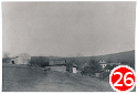
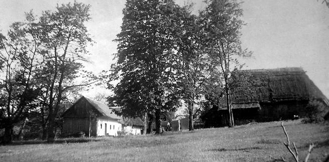
Bild 1: Brezova (1940 und 2017)
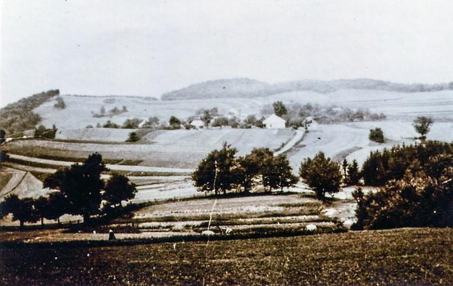
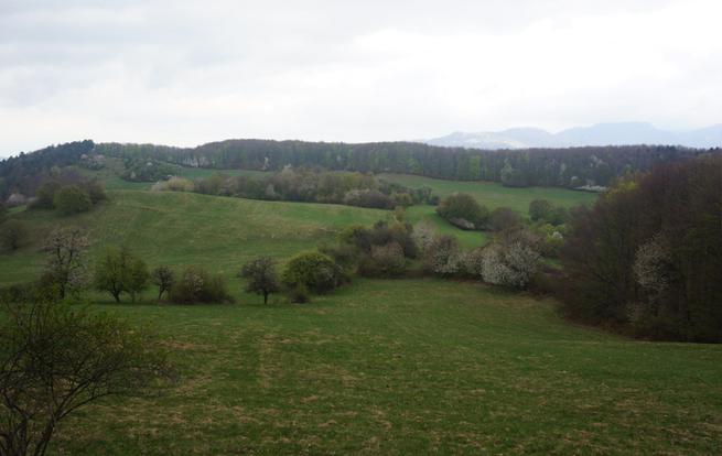
Bild 2: Brezova (1940 und 2017)
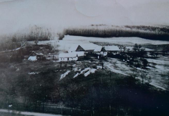
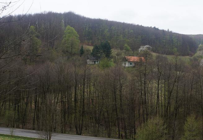
Bild 3: Honig-Staude (1944 und 2017)
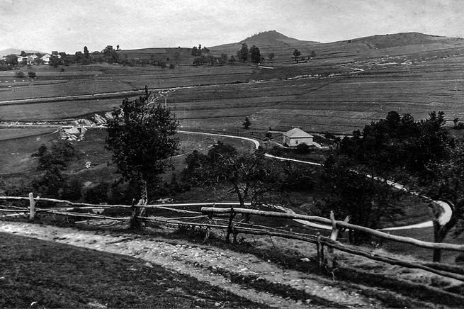

Bild 4: Müller-Schule von Südwesten (1930 und 2014)
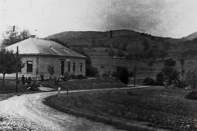
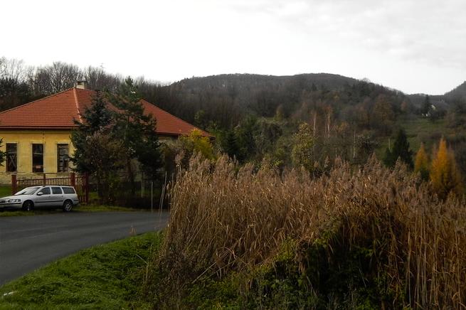
Bild 5: Müller-Schule von Nordosten (1930 und 2014)
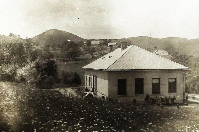
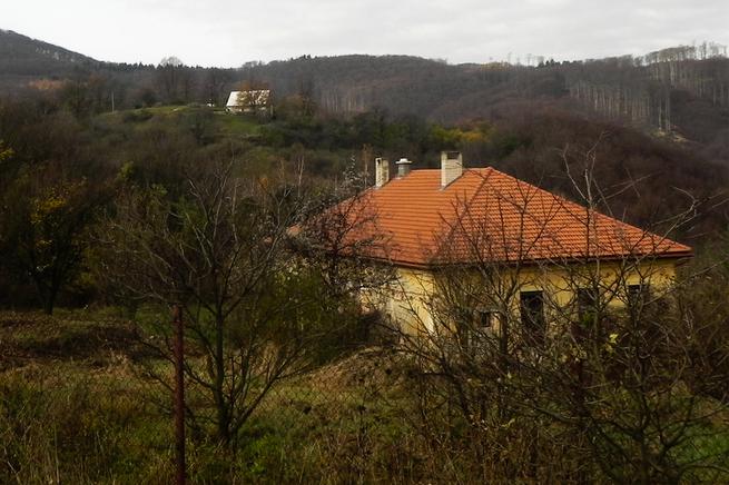
Bild 6: Müller-Schule von Osten (1930 und 2014)
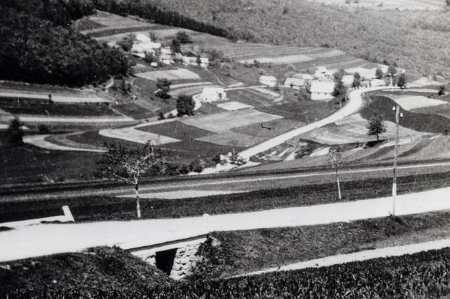
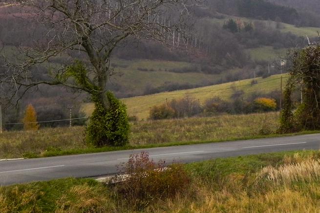
Bild 7: Roipik-Staude (Schwarz) (1944 und 2014)
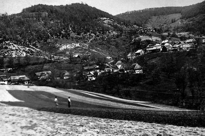
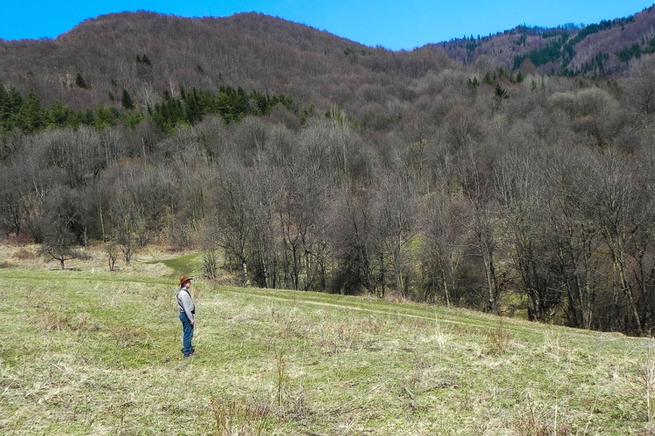
Bild 8: Istok und Herele (1940 und 2015)
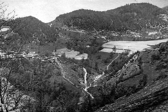
Bild 9: Blick von Gaspar-Staude (1940 und 2015)
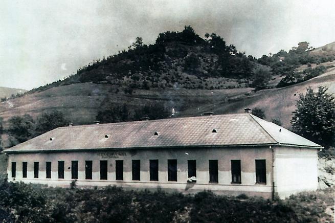
Bild 10: Thoma-Schule (1940 und missing)
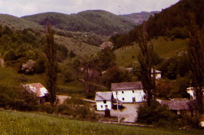
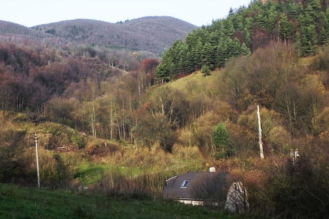
Bild 11: Thoma-Schule and -Staude (1979 und 2014)
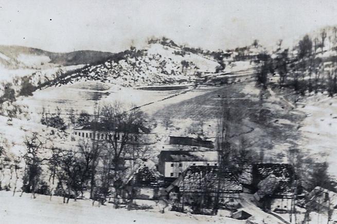
Bild 12: Thoma-Schule von Nordwesten (1927 und 2014)
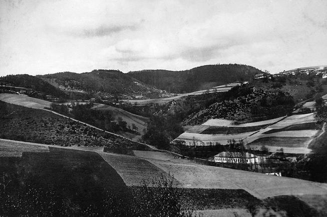
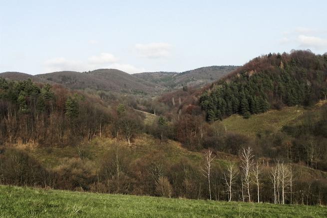
Bild 13: Blick über Thoma-Schule (1940 und 2014)
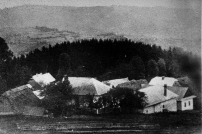
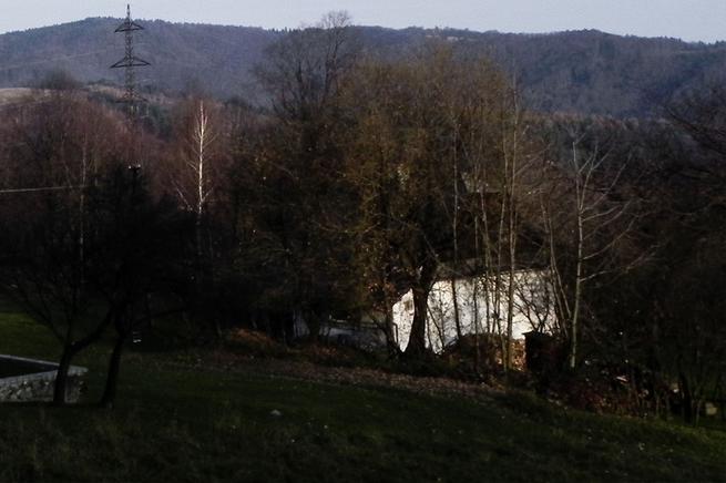
Bild 14: Überblick von Anglet (1940 und 2014)
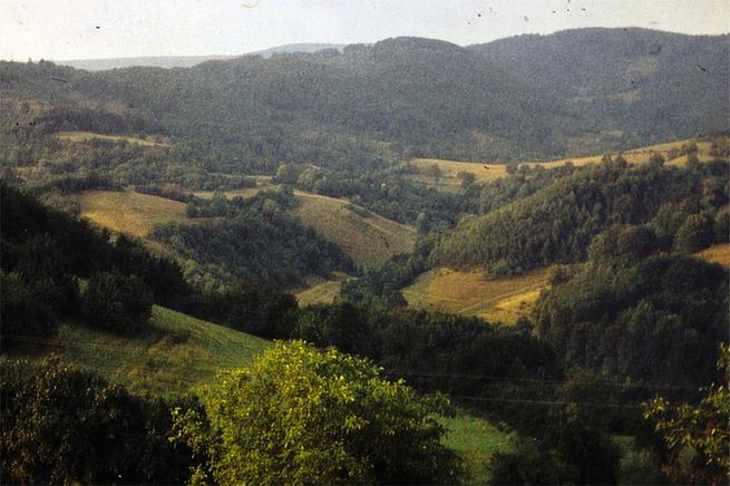
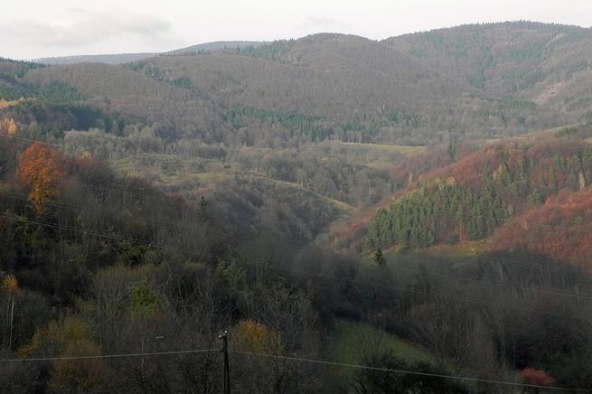
Bild 15: Herale- und Gaspar-Stauden von Greger-Staude (1964 und 2014)
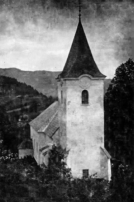
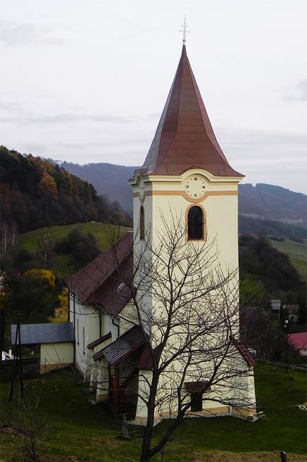
Bild 16: Kirch von Westen (1920 und 2014)
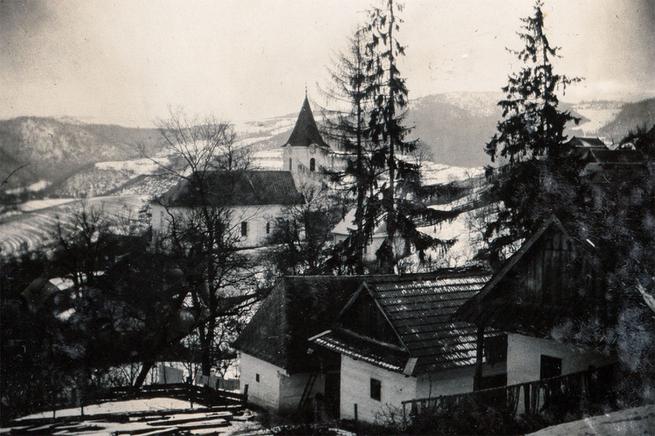
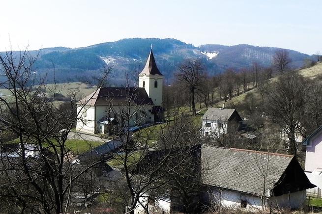
Bild 17: Kirch von Nordosten (1940 und 2017)
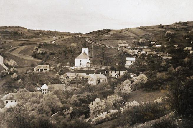
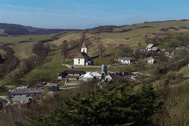
Bild 18: Kirch und Vel´ké Pole von Osten( 1940 und 2015)
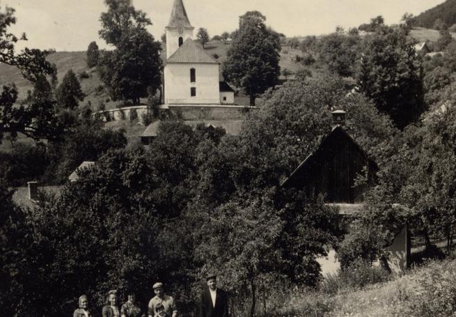
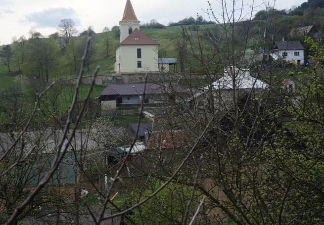
Bild 19: Kirch von Osten (1960 und 2017)
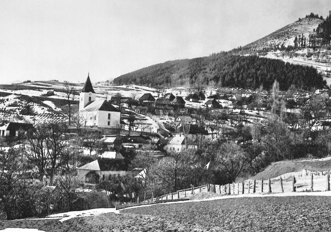
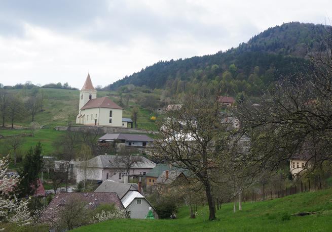
Bild 20: Oberes Dorf von Osten (1940 und 2017)
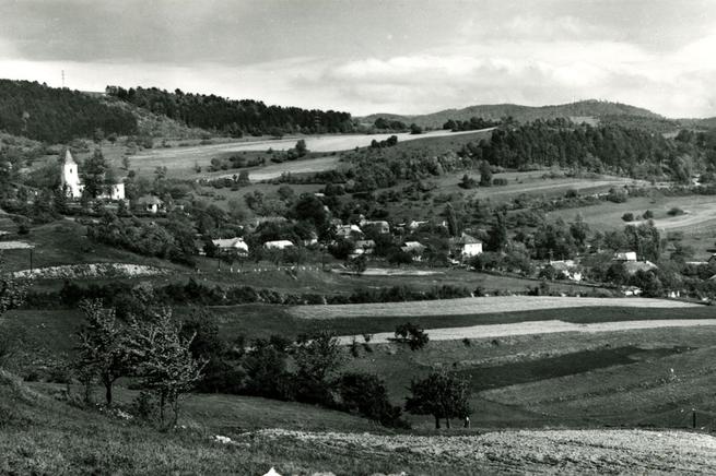
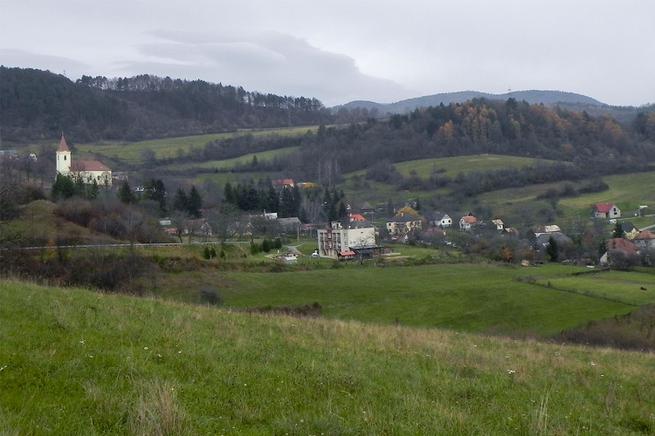
Bild 21: Vel´ké Polé (1950 und 2014)
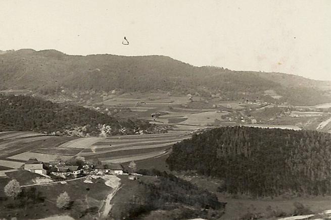

Bild 22: Blick von Schöne Modl (1939 und 2015)
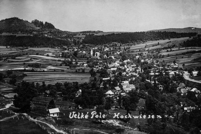
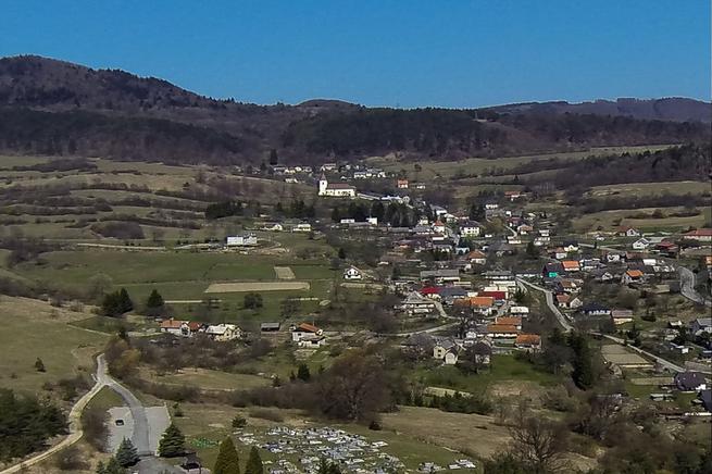
Bild 23: Vel´ké Pole Von Süden (1940 und 2015)

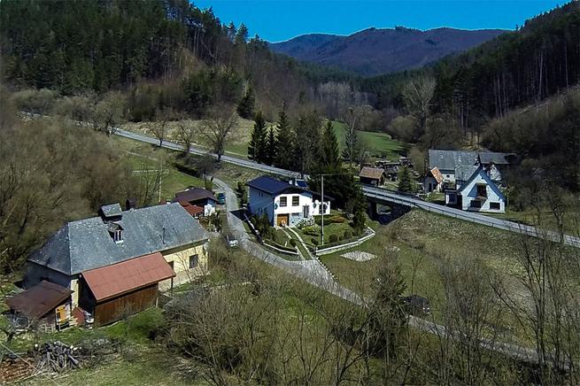
Bild 24: Oberes Mühl (1930 und 2015)
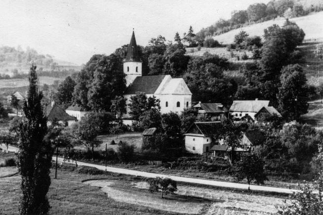
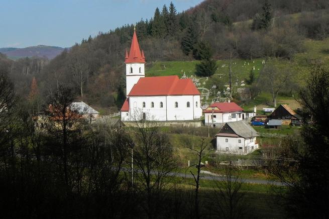
Bild 25: Paulisch Ortsansicht (1940 und 2014)
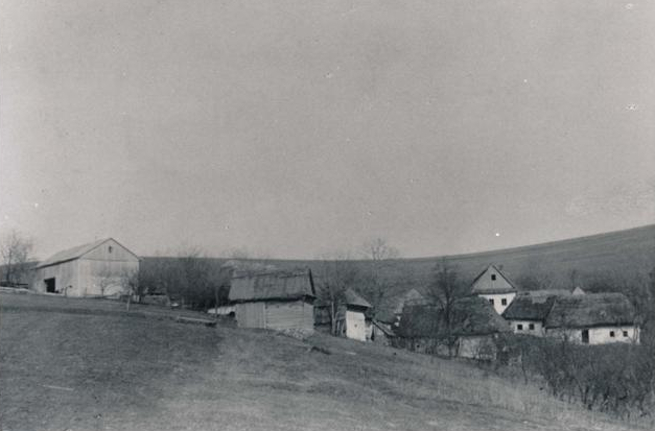
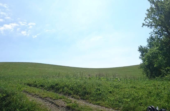
Bild 26: Poltz Bauernhof (1940 und 2017)