In remote sensing, “ground truth“ refers to information collected on ground. Ground truth allows image data to be related to real features and materials on the ground. The collection of ground truth data enables verification of remote sensing data, and aids in the interpretation and analysis of what is being sensed.”
However, in a methodical structured scientific research attempt to understand the area, how people live, what they grow, how the area will likely evolve in the future, and so on. I won't get into technical details because they are presented elsewhere.
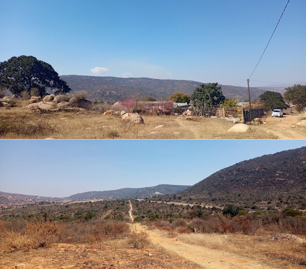
I started ground truthing 5 months after I joined WoPedyP. Significant amount of time was spent into understanding the project beforehand and gathering as much information about the area and its history as I could. This included anticipating the ground truth process, knowing what and how the spatial clues are in the area, and so on. I had done a lot of planning in the hopes of visiting many of the areas of interest shown on the satellite imagery, expecting crop rotation and multi-cropping but was surprised to learn that people exclusively farmed maize. As a result, it became clear that what is on paper and reality are not the same, highlighting the importance of ground truthing.
1. One should be informed of the most prevalent problems that may occur in the field be it logistics or technical issues. It is imperative to have an alternative plan to execute any ground truthing tasks. 2. How much work should be completed, and how much is sufficient? Answer. It is subjective and related to the objectives of the study. However, planning ahead of time and studying as much as possible are essential and saved me much time and effort in the field. 3. Data collection is simple. Wrong! It is typical to imagine that obtaining ground truth data is straightforward. The most critical step before proceeding is to fully understand what type of data is necessary in the study. This research and planning process alone takes a large amount of time. 4. There is no standard operating procedure. Because of the various objectives and circumstances that must be met, each project is unique, so is WoPedyP. However, a standard approach for individual demands must be designed and implemented. 5. There are and will be data gaps that cannot be filled in a single cycle of ground truthing. So, in a nutshell, here's the solution: improvise, adapt, and push yourself if necessary! 6. Technical planning is required. Nobody can deny that. However, emotional preparation for the trials ahead is also required. Prepare for some intense interaction with locals, as well as challenges with accessibility of areas and information, and so on. I had and still have a great support system, so I won't complain too much!
Aside from that, the most effective way to truly commit to your research is through ground truth. Following my field study, I am now ready to write a narrative on my research area. Ground truth allows you to fully understand an area that no literature can explain. After all, you see things for yourself. It not only allows you to perceive things from a remote sensing standpoint, but it also allows you to explore the cultural value of landscapes in a multi-dimensional research setting. I am not the first to perform scientific ground truthing. But I am convinced that every approach is unique, as are each person's set of challenges and experiences. So far, into the project, I can state that my fieldwork was the best part of my research, rather than being confined to a lab setting somewhere.
Hi, this is a comment.
To get started with moderating, editing, and deleting comments, please visit the Comments screen in the dashboard.
Commenter avatars come from Gravatar.